Timeless C Map Usa Classics Reimagined
Explore our curated selection of C Map Usa products designed to meet all your needs.
Political Map of the USA - Size A1-59.4 x 84.1cm - Paper Laminated
U.S. Map Poster (32 x 50 inches) - Laminated: - a QuickStudy Reference Poster – May 31, 2013
Rand Mcnally Washington D.C. Street Map (Red Cover)
Northeastern USA, Eastern Canada - Michelin Regional Map 583: Map (Michelin Regional Maps, 583)
Palace Learning Laminated USA Map - 18" x 29" - Wall Chart Map of The United States of America - Made in The USA - Updated (Laminated, 18" x 29")
USA 5 NE, NY and Great Lakes: Northeast USA, Central East Coast, Washington D.C., New York City, Greater Boston, Boston (Borch Map)
Navigation SD Card Map Compatible with Mercedes Garm./Pilot, C-Class E-Class GLC.Version 14.0 (MAP 14.0) ONLY BE Used in The Audio 20 (Code 522) NTG Sync USA/Can/Mex
Insight Guides Travel Map New England (Insight Guides Travel Maps)
A2189068403 Newest Navigation SD Card for CLA/GLC/GLA/AMG/A/B/C/E-Class - MAP 14.0 (for Audio 20 with NTG Code 522, Includes Can/Mex/USA Maps)
ArtzFolio Antique Vintage Map of USA America Canvas Painting Black Synthetic Frame 21inch x 16inch (53.3cms x 40.6cms)
Rand McNally Folded Map: Washington, D.C. Street Map
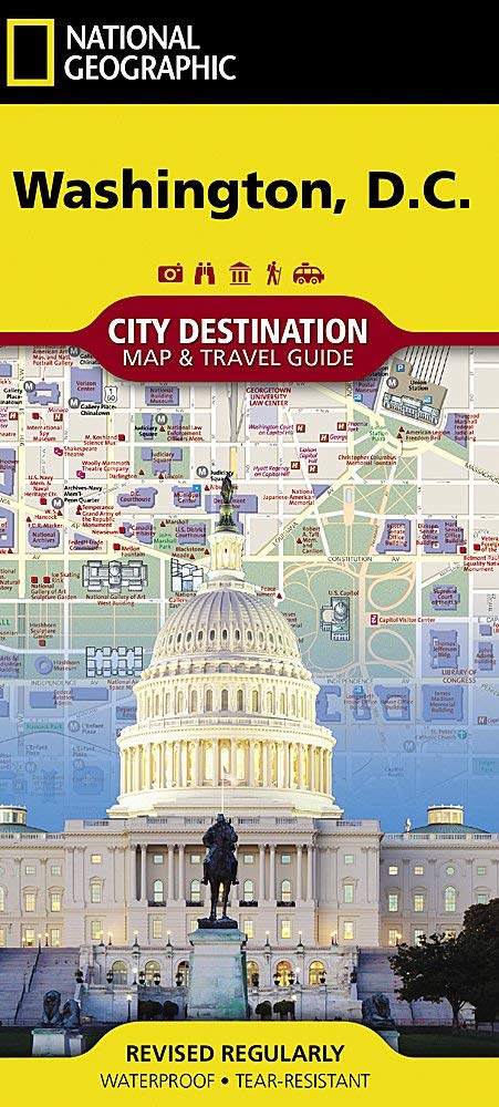
Washington D.C. Map (National Geographic Destination City Map)
USA Map Poster - United States Map Chart [Green/Color]
National Geographic Road Atlas 2025: Adventure Edition [United States, Canada, Mexico] Spiral-bound – June 10, 2024
Lonely Planet Western USA 6 (Travel Guide)
DURABLE MAGNETIC Paper Map of UNITED STATES of AMERICA (USA) with Core Based Statistical Area (CBSA) classification, Road-Rail, Important Locations with Map-Legend, Size Size 18 X 11 inches ~ A3 SIZE LANDSCAPE
Lonely Planet USA Planning Map
United States Lighthouses: Illustrated Map & Guide
USA 1 Northwest: world mapping project (USA 1 Northwest (1:750.000): Washington und Oregon)
Imagimake: Mapology USA with Capitals- Learn USA States Along with Their Capitals and Fun Facts- Fun Jigsaw Puzzle- Educational Toy for Kids Above 5 Years
Concrete New York Map: Guide to Brutalist and Concrete Architecture in New York City
Southeastern USA - Michelin Regional Map 584: Map (Michelin Regional Maps, 584)
Michelin USA Road Map 761 (Maps/Country (Michelin)) Map – Folded Map, November 1, 2017
Lonely Planet USA: Transform how you communicate with yourself and others
A15 Navigation SD Card 2024 GPS Map Update, Latest Version GPS SD Map Card for Ford Lincoln, GM5T-19H449-AJ, USA Canada Maps
Battle-Fields of the South, from Bull Run to Fredericksburg; With Sketches of Confederate Commanders. by A(t. E. C.) with Two Maps. Vol. II
ArtzFolio Antique Vintage Map of USA America | Peel & Stick Vinyl Wall Sticker for Home & Wall Decoration | 16 x 12 inch (41 x 30 cms)
USA Marco Polo Map (Marco Polo Maps)
USA Map Poster - United States Map Chart [Tan/Color] (Laminated, 18” x 29”)
United States Map with State Flags Poster - Laminated 14x19.5 in. - Educational Poster, USA Map for Kids, Elementary Classroom Decorations, and Teacher Supplies
Elk 3D Wooden World Map Wall Decor - Metallic Green Color - Perfect Wall Decor for Travel Enthusiasts | Size:S (90x52CM)
Harper'S Encyclopedia Of United States History From 458 A.D. To 1905; With A Preface On The Study Of American History With Original Documents, Portraits, Maps, Plans, & C.; (Volume II)
Vintage Maps Scrapbook Paper Volume 1: 20 One-Sided Sheets: Decorative Paper for Junk Journals, Collage and Decoupage
Battle-Fields of the South, from Bull Run to Fredericksburg; With Sketches of Confederate Commanders. by an English Combatant (T. E. C.) with Two Maps.
Lonely Planet Eastern USA 6 (Travel Guide)
Resources of Kansas. Fifteen Years Experience. by C. C. Hutchinson. With A New Map and Forty Illustrations.: Fifteen Years Experience-with a New Map and Forty Illustrations
Rand McNally Folded Map: Washington, D.C. Baltimore Regional Map
Lonely Planet Best Road Trips Southwest USA: Escapes on the Open Road; 32 Routes With Maps (Road Trips Guide)
2 Pack - World Map Poster & USA Map Chart [Tan/Color] (LAMINATED, 18” x 29”)
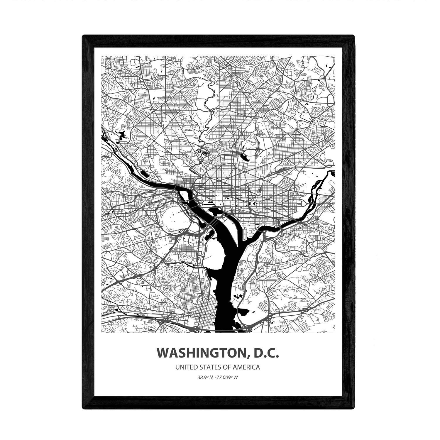
Nacnic Poster with map of Washington D.C - USA. Sheets US cities with seas and rivers in black color. A4 size
Latest Version Navigation SD Card, Compatible with Mercedes CLA/GLC/GLA/AMG/A/B/C/E-Class, Version 14.0 (MAP 14.0) ONLY Fit for The Audio 20 (Code 522) NTG, for Can/Mex/USA Maps -(A2189068403)
Latest Version Navigation SD Card, Compatible with Mercedes CLA/GLC/GLA/AMG/A/B/C/E-Class, Version 14.0 (MAP 14.0) ONLY Fit for The Audio 20 (Code 522) NTG, for Can/Mex/USA Maps
Montessori Geography Labeled Control Map USA Control Map for Kids Learning
Lonely Planet Best Road Trips Southwest USA: Escapes on the Open Road; 32 Routes With Maps (Road Trips Guide)
Washington, D.C. Jumbo Map Magnet by Classic Magnets, 3.6" x 4.3", Collectible Souvenirs Made in The USA
Papers Relating to an Act of the Assembly of the Province of New-York, for Encouragement of the Indian Trade, &c. and for Prohibiting the Selling of ... to the French, Viz. of Canada: With a Map
Latest Version Navigation SD Card Compatible with Mercedes CLA/GLC/GLA/AMG/A/B/C/E-Class, Version 14.0 (MAP 14.0) ONLY Fit for The Audio 20 (Code 522) NTG, Can/Mex/USA Maps
Lonely Planet Southwest USA's Best Trips: 32 amazing road trips (Road Trips Guide) Paperback – Folded Map, 1 July 2022
1491: The Americas Before Columbus
Uttar Pradesh Map | English | Laminated | 100 x 70 cm Wall Chart – 8 January 2022
Railroad Maps of the United States: A Selective Annotated Bibliography of Original 19th-century Maps in the Geography and Map Division of the Library of Congress
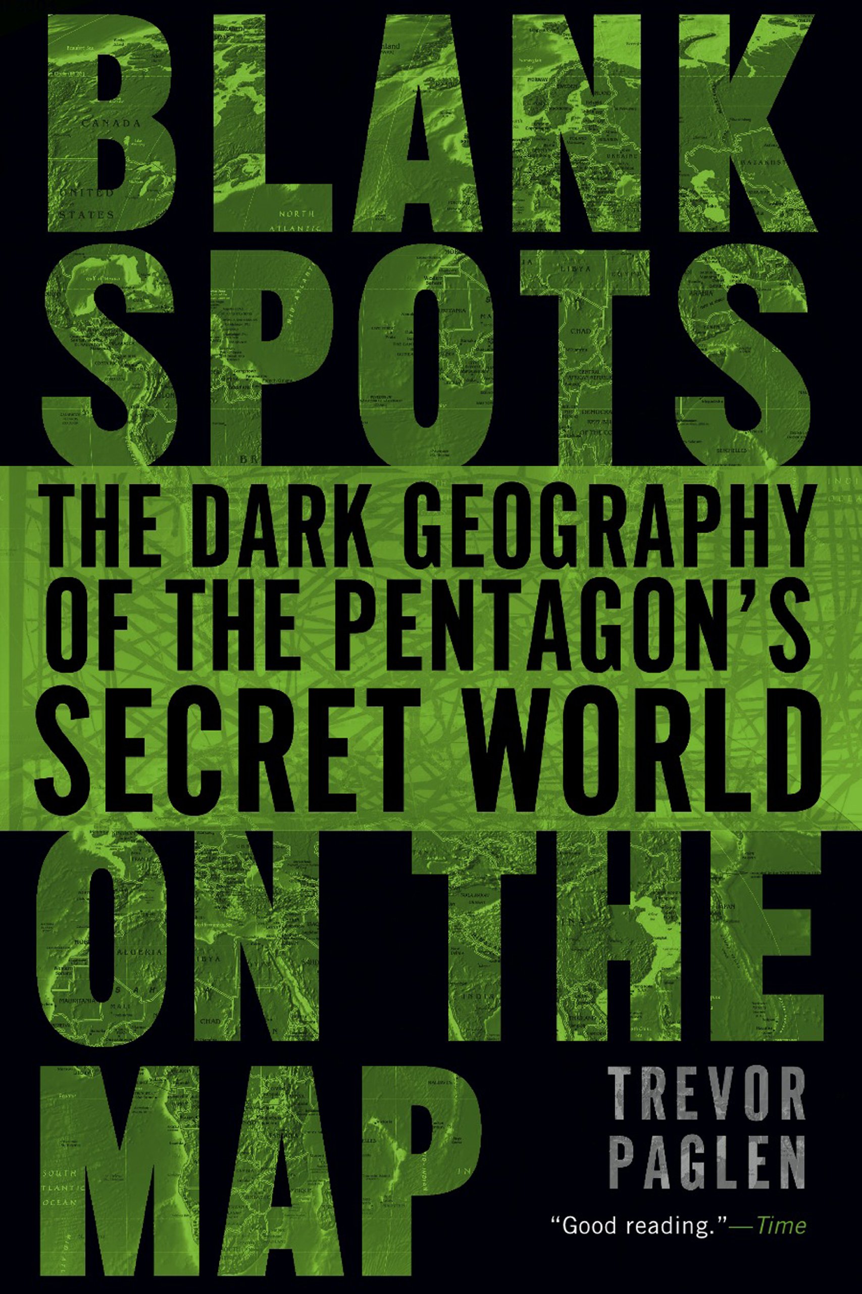
Blank Spots on the Map: The Dark Geography of the Pentagon's Secret World
Ancient History, Illustrated by Colored Maps, and a Chronological Chart, for the Use of Families and Schools. by C. A. Bloss ... Revised and Improved
Papers Relating to an Act of the Assembly of the Province of New-York, for Encouragement of the Indian Trade, &c. and for Prohibiting the Selling of ... to the French, Viz. of Canada: With a Map
DK Eyewitness Top 10 Washington DC (Pocket Travel Guide)
DK Eyewitness Washington DC
A Little Fifer's war Diary, With 17 Maps, 60 Portraits, and 246 Other Illustrations
Complete Illustrated History of the First & Second World Wars: With More Than 1000 Evocative Photographs, Maps and Battle Plans
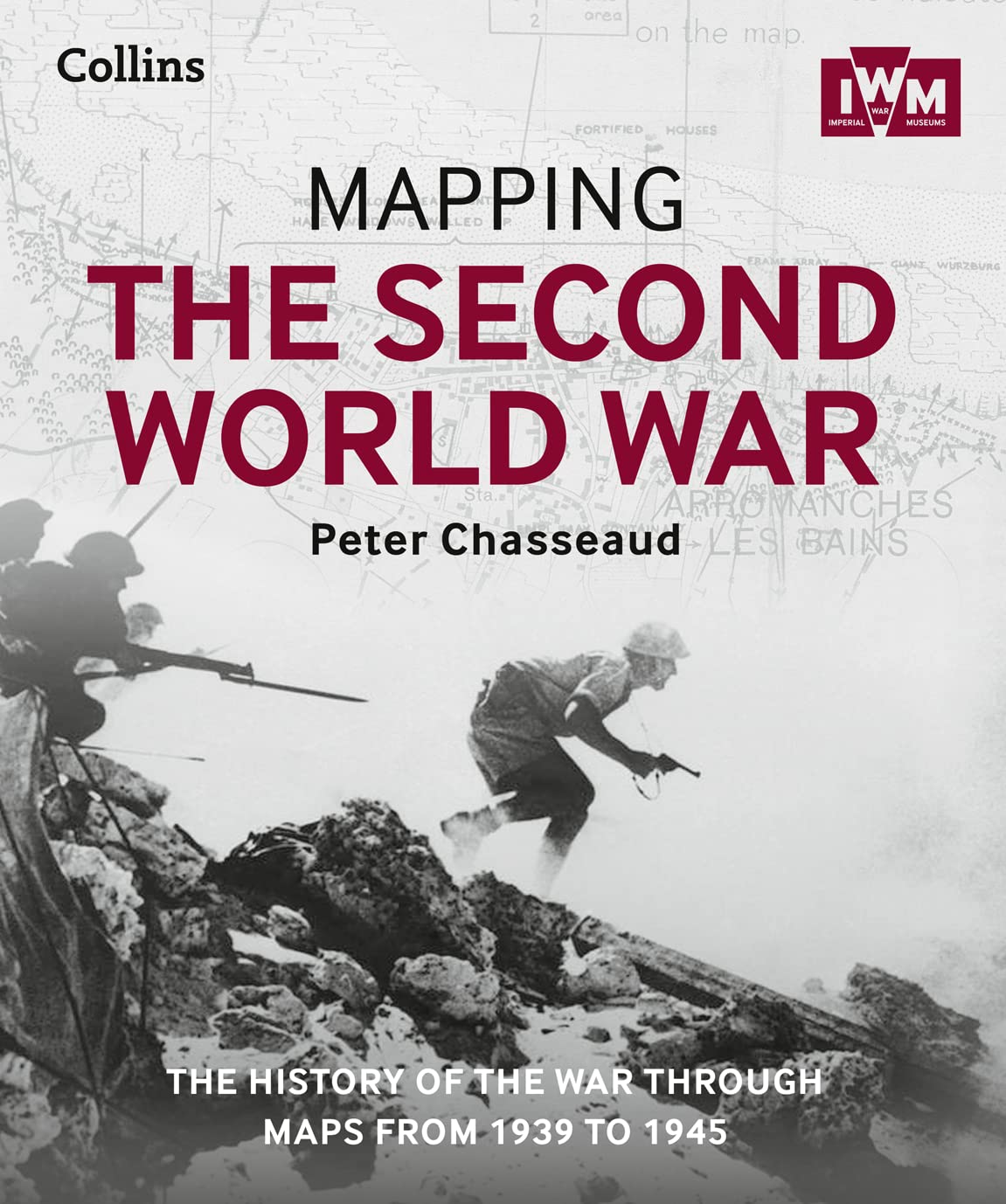
Mapping the Second World War: The History of the War Through Maps from 1939 to 1945 Hardcover – 30 October 2015
Blank USA Map Outline Poster (LAMINATED, 18" x 29")
Elk 3D Wooden World Map Wall Decor - Metallic Teak Brown Color - Perfect Home Decor for Travel Enthusiasts Size:XXL (255x145CM)


![USA Map Poster - United States Map Chart [Green/Color]](https://m.media-amazon.com/images/I/91hlqXJIonS.jpg)
![National Geographic Road Atlas 2025: Adventure Edition [United States, Canada, Mexico] Spiral-bound – June 10, 2024](https://m.media-amazon.com/images/I/81rRihqWqgL.jpg)


![2 Pack - World Map Poster & USA Map Chart [Tan/Color] (LAMINATED, 18” x 29”)](https://m.media-amazon.com/images/I/A1aLNThapcS.jpg)